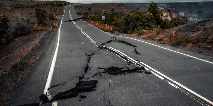
Scientists have sounded the alarm for decades about the Cascadia Subduction Zone, a megathrust fault spanning down the western coastline from Vancouver Island to Cape Mendocino, California, that could cause an earthquake, often called “the big one.” Researchers have now fully mapped the fault, publishing their findings in Science Advances, a task that will provide a more details view of how a megathrust earthquake could affect life on the west coast.
The subduction zone is much more complex than previously thought, containing four segments that could rupture individually or all at once. Those independent segments have the potential to produce magnitude 8 earthquakes, at minimum, while the Cascadia Zone could generate around a magnitude 9 earthquake.
The last Cascadia megathrust earthquake occurred in 1700, mostly noted by Japanese records marking a tsunami without a prior quake. To cause a tsunami to get to Japan, it would require an 8.7 magnitude earthquake.
“The recurrent interval for this subduction zone for big events is on the order of 500 years,” said Kelin Wang, a research scientist at the Geological Survey of Canada who was not involved in the study. “It’s hard to know exactly when it will happen, but certainly if you compare this to other subduction zones, it is quite late.”

